75 years since Assam quake, Himalayas prep for large hydro projects
75 years since Assam quake, Himalayas prep for large hydro projects
Key Points:
- On August 15, 1950, the Great Assam Earthquake (Magnitude 8.6) struck Northeast India, causing widespread destruction and over 1,500 deaths in India; impacts were also felt in Myanmar, Bangladesh, Tibet, and China.
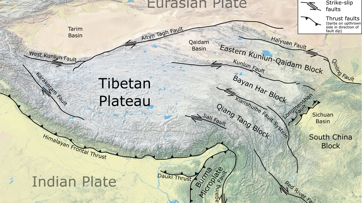
- The earthquake occurred along the Indian-Eurasian plate boundary, near the Eastern Himalayas, at a depth of 15 km.
- The event caused landslides, river blockages, and flash floods, demonstrating secondary hazards of large earthquakes.
- The earthquake displayed a mixed mechanism: thrusting and strike-slip motion, linked to the Eastern Himalayan Syntaxis (EHS) — a tectonically complex region.
- GPS data shows Indian and Eurasian plates converge at 10–38 mm/year in the Eastern Himalayas, highlighting seismic vulnerability.
- Historical records show NE India has experienced multiple major earthquakes (e.g., 1548, 1596, 1697, 1262–1635 medieval quake).
- The article warns that future earthquakes of similar magnitude remain a possibility, especially given urban expansion and upcoming hydroelectric projects in the region.
Updated : August 14, 2025 05:30 am IST | The Hindu
Kerala Biodiversity Solitary Bees Nomiinae Hymenoptera Halictidae Pollinators Agriculture Ecosystem Services Soil Fertility Ecological Contribution Christ College Thrissur Kerala Science Research KSCSTE UGC Insect Diversity Species Discovery Conservation Environmental Studies UPSC BPSC MPPSC UPPSC RPSC TNPSC WBCS JPSC SSC CGL RRB NTPC Civil Services State PCS Environment and Ecology Indian Fauna Scientific Research Biodiversity Records Kerala Wildlife